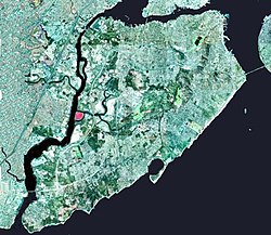
Island in Staten Island, New York, United States
40°34′37″N 74°12′12″W / 40.57694°N 74.20333°W / 40.57694; -74.20333
 | |
| Geography | |
|---|---|
| Total islands | 1 |
| Area | 0.352 km2 (0.136 sq mi) |
| Administration | |
| State | New York (state) |
| City | New York City |
| Borough | Staten Island |
| Demographics | |
| Population | Uninhabited |

The Isle of Meadows (also known as the Isle of Meadow) is a 87-acre (0.35 km2) uninhabited island in the New York City borough of Staten Island in the United States. It is located along the western side of Staten Island, where Fresh Kills empties into the Arthur Kill. The island is owned by the city of New York. It is now a nature preserve providing important meadow and salt marsh nesting habitat for herons, ibises, and egrets, and is not open to the public.[1]
References
[edit]| Major islands | |||||
|---|---|---|---|---|---|
| Pelham Islands | |||||
| New York Bay |
| ||||
| Jamaica Bay | |||||
| North River (Hudson River) | |||||
Former islands shown in italics | |||||
This article about a location on Staten Island, New York is a stub. You can help Wikipedia by expanding it. |

