Tawaramoto, Nara
Town in Kansai, Japan
Tawaramoto  Flag  Chapter | |
|---|---|
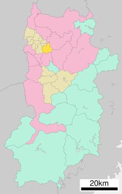
 Location of Tawaramoto in Nara Prefecture | |
 | |
| Symbols | |
| Flower | Narcissus |
| Tree | Quercus Gilva |
Tawaramoto (田原本町, Tawaramoto-chō) is a town located in Shiki District, Nara Prefecture, Japan. As of March 31, 2017, the town has an estimated population of 32,241.[1] The total area is 21.09 km2.[2] It has many temples and shrines including Jinrakuji.
Geography
Located in the center of the Nara Basin, the majority of the land is flat. The Yamato River flows through the eastern portion of the town.
Surrounding municipalities
- Nara Prefecture
- Tenri
- Sakurai
- Kashihara
- Miyake
- Kōryō
Education
- Tawaramoto Agriculture School
- Koutou Special School
- Shiki High School
References
External links
 Media related to Tawaramoto, Nara at Wikimedia Commons
 Geographic data related to Tawaramoto, Nara at OpenStreetMap
- Tawaramoto official website (in Japanese)
- v
- t
- e
 Nara Prefecture
Nara (capital)
- Nara

Authority control databases | |
|---|---|
| International |
|
| National |
|
| Academics |
|
 | This Nara Prefecture location article is a stub. You can help Wikipedia by expanding it. |
- v
- t
- e


