La Pintada, Antioquia
Municipality and town in Antioquia Department, Colombia

Flag
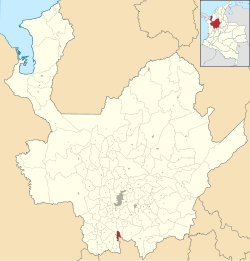
Location of the municipality and town of La Pintada in the Antioquia Department of Colombia
 Colombia
 Antioquia Department
La Pintada (Spanish pronunciation: [la pinˈtaða]); is a town and municipality in the southwest region of the Antioquia department. It is located 79 miles from Medellín at an altitude of 600 m (2,000 ft) above sea level. It borders the Fredonia and Santa Bárbara municipalities to the north. The Cauca River flows through the municipality.
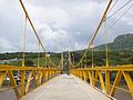
Places of interest
- Slopes of the Poblanco and Arma rivers
- Yellow hill
- Alejandro López railway station
- El Salto del Caballo
- Acapulco beach
Gallery
Wikimedia Commons has media related to La Pintada.
- v
- t
- e
Antioquia DepartmentCapital: Medellín
and
municipalities
| Southwestern |
|
|---|---|
| Eastern | |
| Northeastern | |
| Northern | |
| Western | |
| Bajo Cauca | |
| Magdalena Medio | |
| Urabá | |
| Metropolitan Area of the Aburrá Valley |
5°45′N 75°36′W / 5.750°N 75.600°W / 5.750; -75.600
 | This Department of Antioquia location article is a stub. You can help Wikipedia by expanding it. |
- v
- t
- e


